Mission Statement

TwinVert is a small, family-run environmental consulting company founded and operated by two brothers, supported by a tight-knit team of dedicated professionals. The team brings a strong combination of field biology, natural resource management and geospatial expertise to every project.

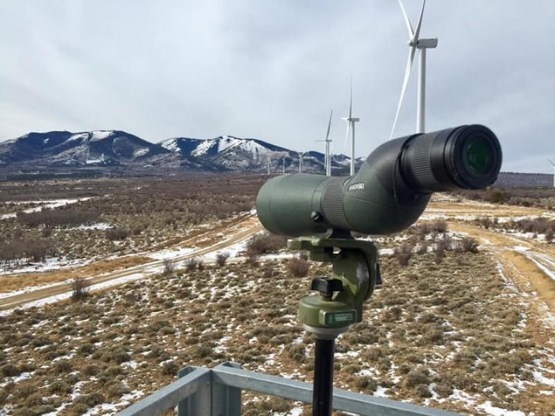
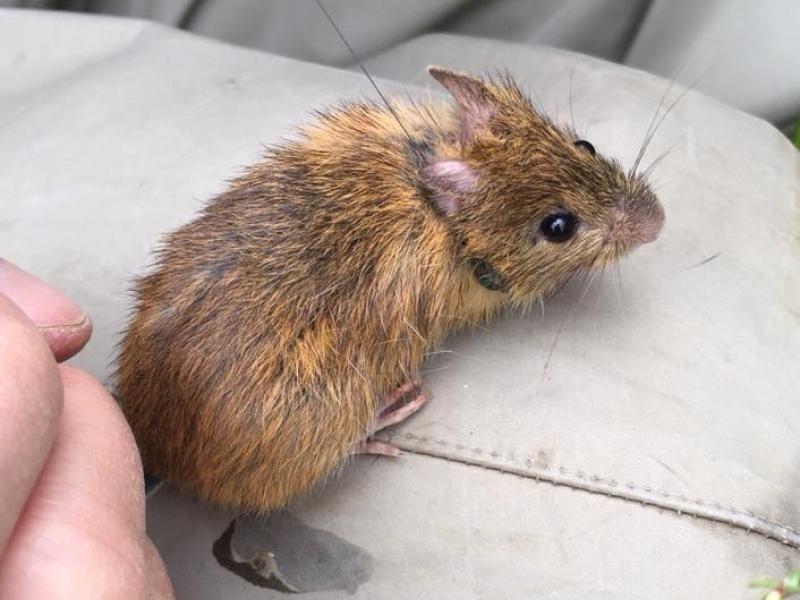
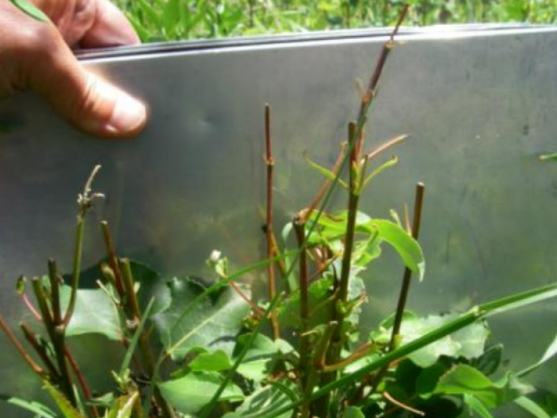
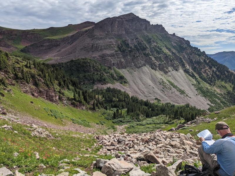
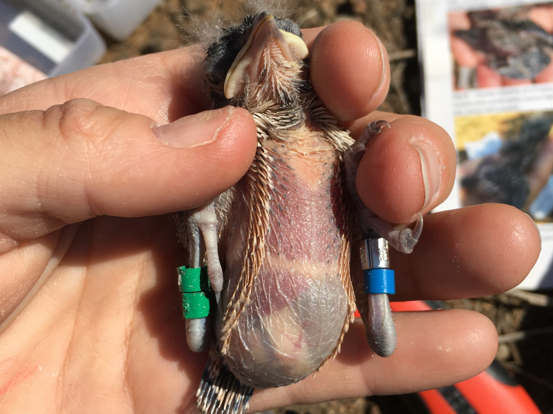
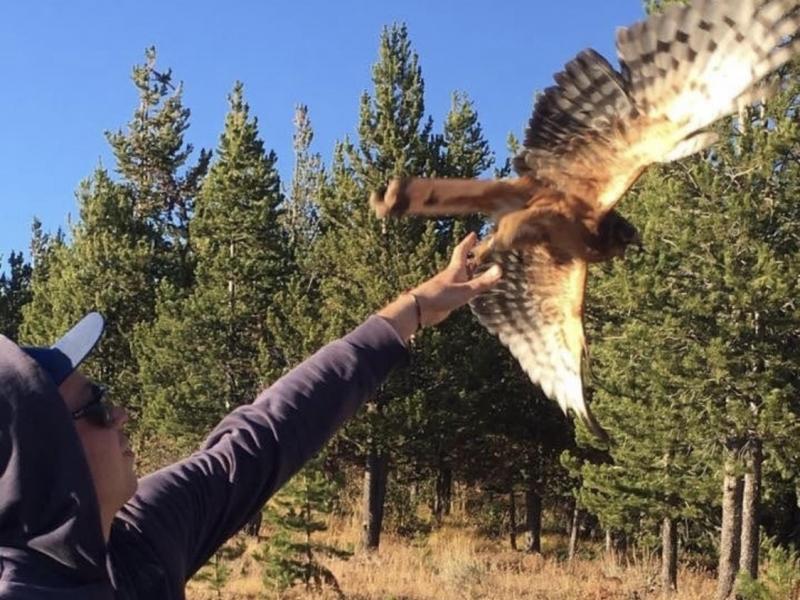
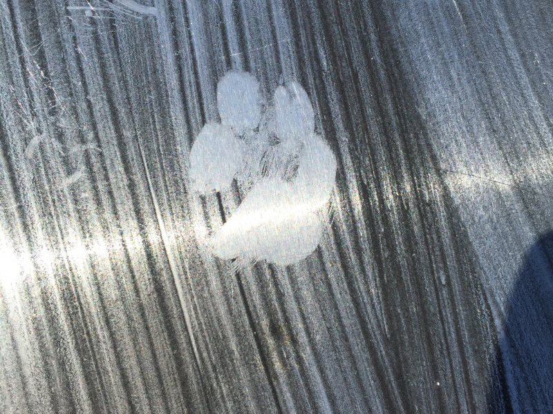
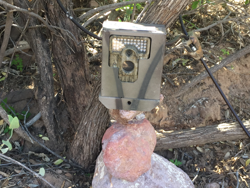
We specialize in wildlife surveys, habitat assessments, ecological monitoring, spatial analysis, and high quality deliverables—offering the technical precision of a larger firm with the flexibility, responsiveness, and personal attention to detail only a small team can provide. Our work supports regulatory compliance, land management decisions, conservation planning, and restoration efforts across the West.

What sets us apart is simple: we do the work ourselves. You won’t get passed off to junior staff or filtered through layers of bureaucracy. From initial planning to final high quality products, we stay hands-on—ensuring accuracy, accountability, and deep familiarity with every species and acre we assess.

Whether the goal is on-the-ground data collection, wildlife monitoring, habitat assessments, regulatory compliance, geospatial modeling, management recommendations, or ecological restoration we deliver science you can stand behind.


  • Eagle collision avoidance services provided to windfarms

    Services aimed at preventing eagle collisions with wind turbines. These include monitoring eagle activity and adjusting turbine operations to ensure safety.

  • Twinvert biologists outfitting an endangered New Mexican meadow jumping mouse (Zapus hudsonius luteus) with a radio telemetry collars for a study of home range and landscape movement

    Twinvert biologists outfitting an endangered New Mexican meadow jumping mouse (Zapus hudsonius luteus) with a radio telemetry collars for a study of home range and landscape movement

  • Targeted aspen browsing evaluations on the Uncompahgre—supporting data-driven land management decisions.

    Targeted aspen browsing evaluations on the Uncompahgre—supporting data-driven land management decisions.

  • Principal Biologist Logan Derderian conducting avian point count and habitat surveys. These surveys support population assessments and habitat evaluations critical for conservation planning.

    Principal Biologist Logan Derderian conducting avian point count and habitat surveys. These surveys support population assessments and habitat evaluations critical for conservation planning.

  • Cactus wren (Campylorhynchus brunneicapillus) fitted with color bands for individual identification during a study of distribution, abundance and habitat characteristics. These data help track survival, territory use, and population trends over time.

    Cactus wren (Campylorhynchus brunneicapillus) nestling fitted with color bands for individual identification during a study of distribution, abundance and habitat characteristics. These data help track survival, territory use, and population trends over time.

  • Principal Biologist Logan Derderian releasing a juvenile Northern Harrier (Circus hudsonius) as part of a study on fledgling dispersal—advancing raptor ecology and movement research.

    Principal Biologist Logan Derderian releasing a juvenile Northern Harrier (Circus hudsonius) as part of a study on fledgling dispersal—advancing raptor ecology and movement research.

  • Front paw print of gray fox (Urocyon cinereoargenteus) on track plate used in a study of mammalian carnivore demography and habitat use

    Front paw print of gray fox (Urocyon cinereoargenteus) on track plate used in a study of mammalian carnivore demography and habitat use

  • Camera traps are a key tool for non-invasive surveys like this one assessing wildlife movement along riparian corridors.

     Camera traps are a key tool for non-invasive surveys like this one assessing wildlife movement along riparian corridors.

Expertise

  • Biological Monitoring and Management
  • Avian and Raptor Surveys

  • Herpetofaunal, Mammalian, and Invertebrate Surveys

  • Vegetation Mapping and Botanical Inventories

  • Wildlife Population Assessments and Habitat Modeling

  • Wetland Delineation and Functional Assessments

  • Ecological Community Classification and Biodiversity Indexing

  • Long-Term Ecological Monitoring Design and Implementation